If you’re looking for a Colorado National Monument map, you’ve come to the right place; currently I’ve collected 7 free Colorado National Monument maps to view and download. (PDF files and external links will open in a new window.) On this page you’ll find maps covering the entire park as well as trails and other points of interest. You can also browse best-selling Colorado NM maps and guidebooks on Amazon.
Colorado National Monument brochure maps
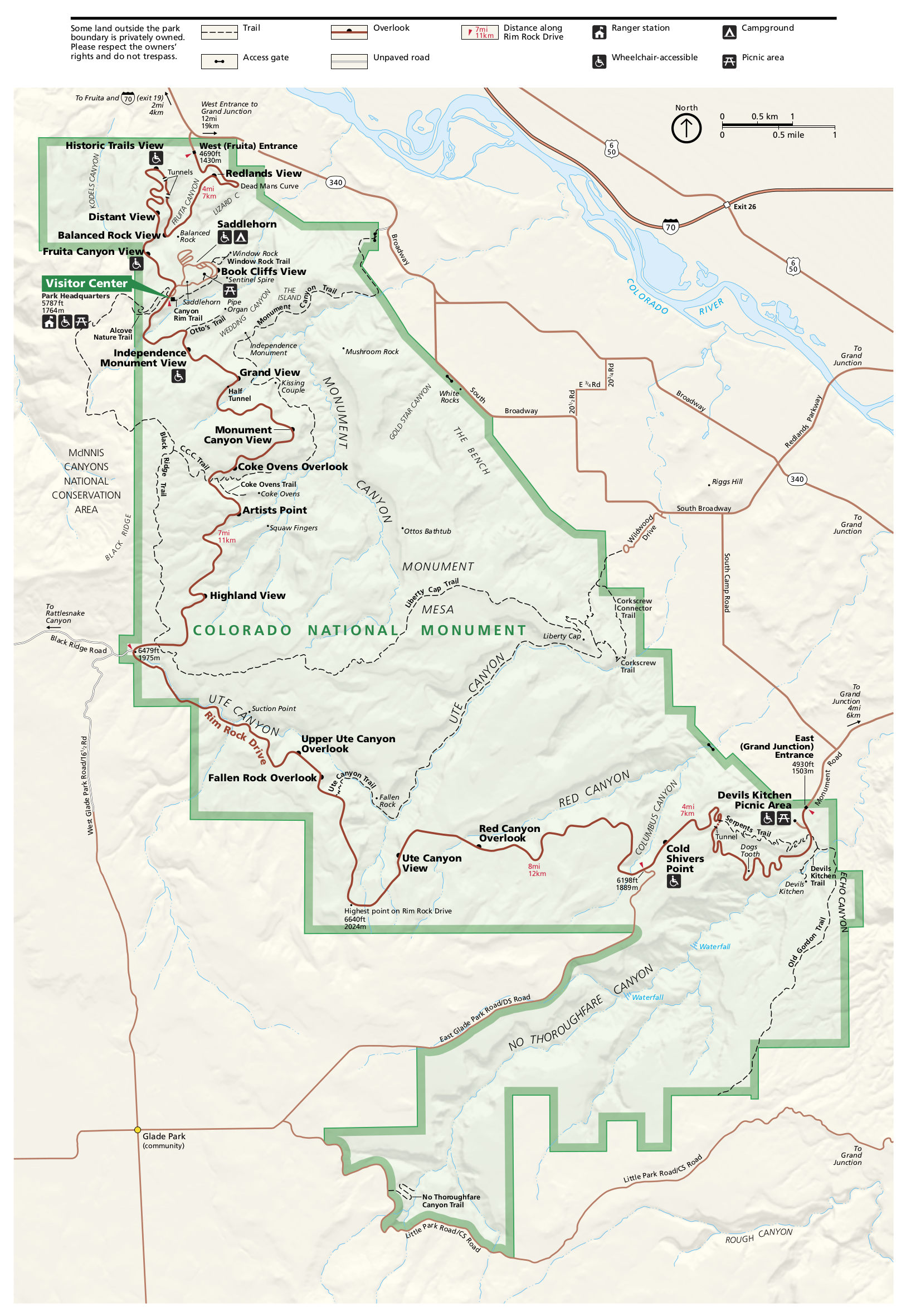 Here’s a Colorado National Monument map, showing the scenic Rim Rock Drive and various overlooks and trails accessible from the road. Click the image to view a full size JPG (550 kb) or download the PDF (800 kb).
Colorado National Monument trail maps
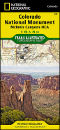
 Most visitors to Colorado National Monument drive the roads and view the scenery from the overlooks. However, if you plan to do some major hiking or exploring wilderness areas nearby, you’ll want to buy a detailed trail map like the Colorado National Monument National Geographic Trails Illustrated map. It also includes McInnis Canyons National Conservation Area as well as the Black Ridge Canyons Wilderness.
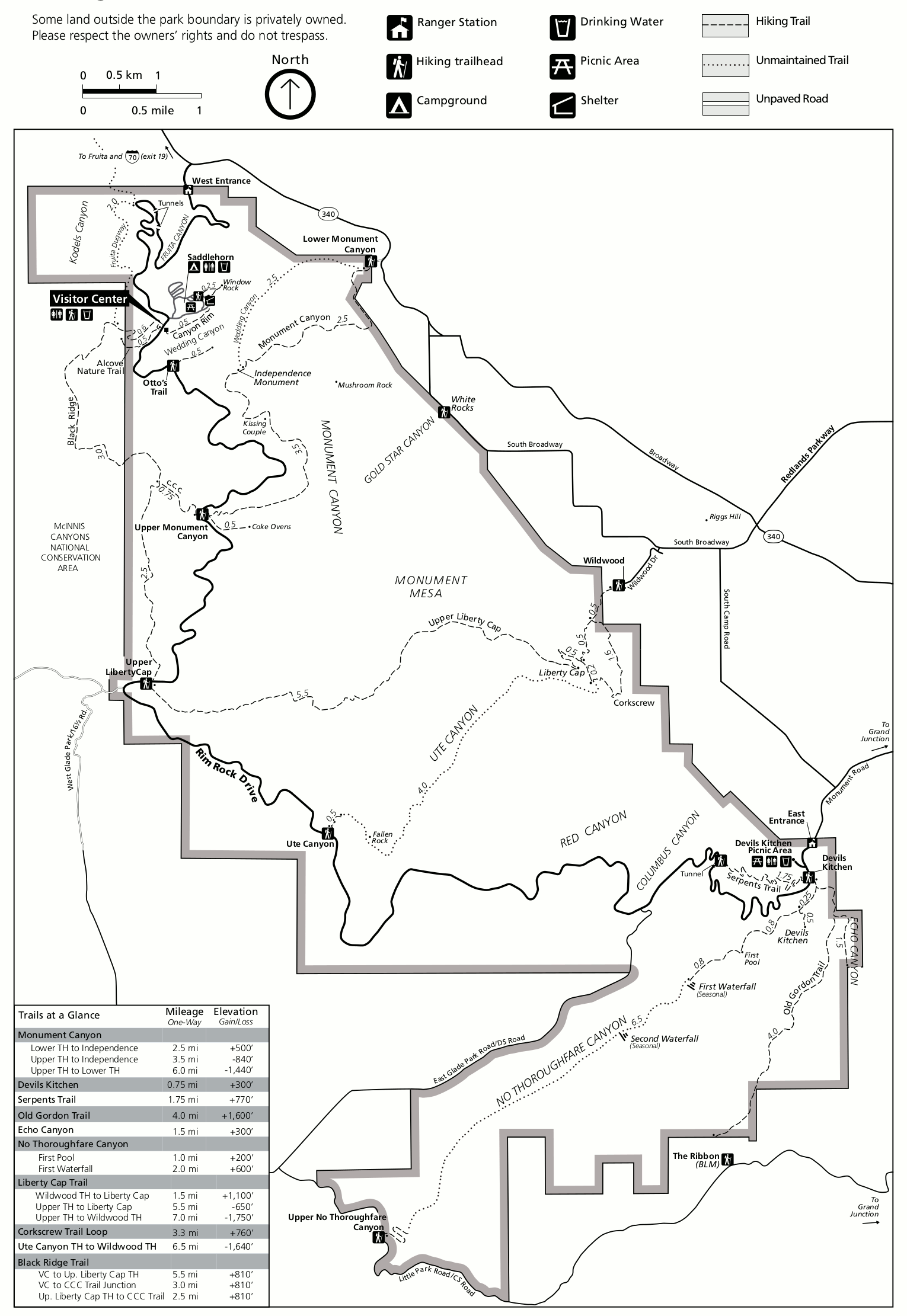 Here’s a Colorado National Monument trail map (250 kb), showing the park’s maintained hiking trails and including distances between points of interest and junctions as well as elevation gain/loss.
Various Colorado NM maps
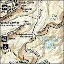
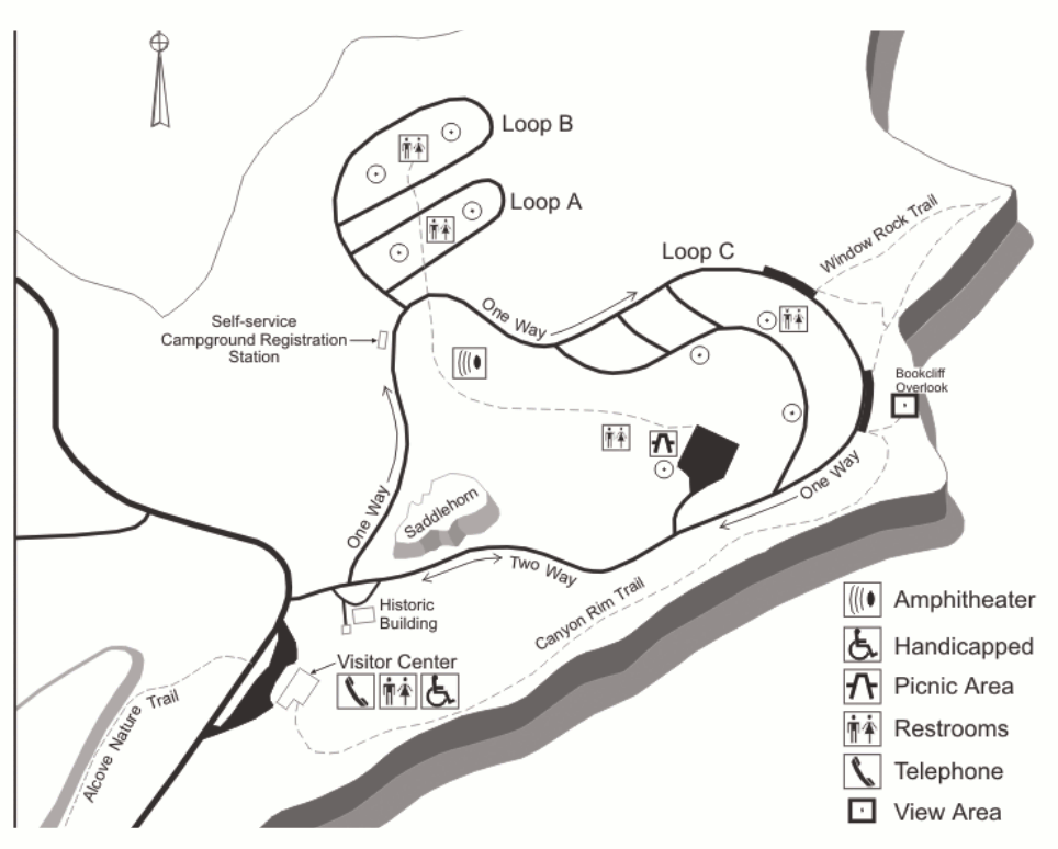 This Colorado NM detail map (100 kb) zooms in on the visitor center and Saddlehorn Campground. This area is located up on Rim Rock Drive and is the most visited area of Colorado National Monument.
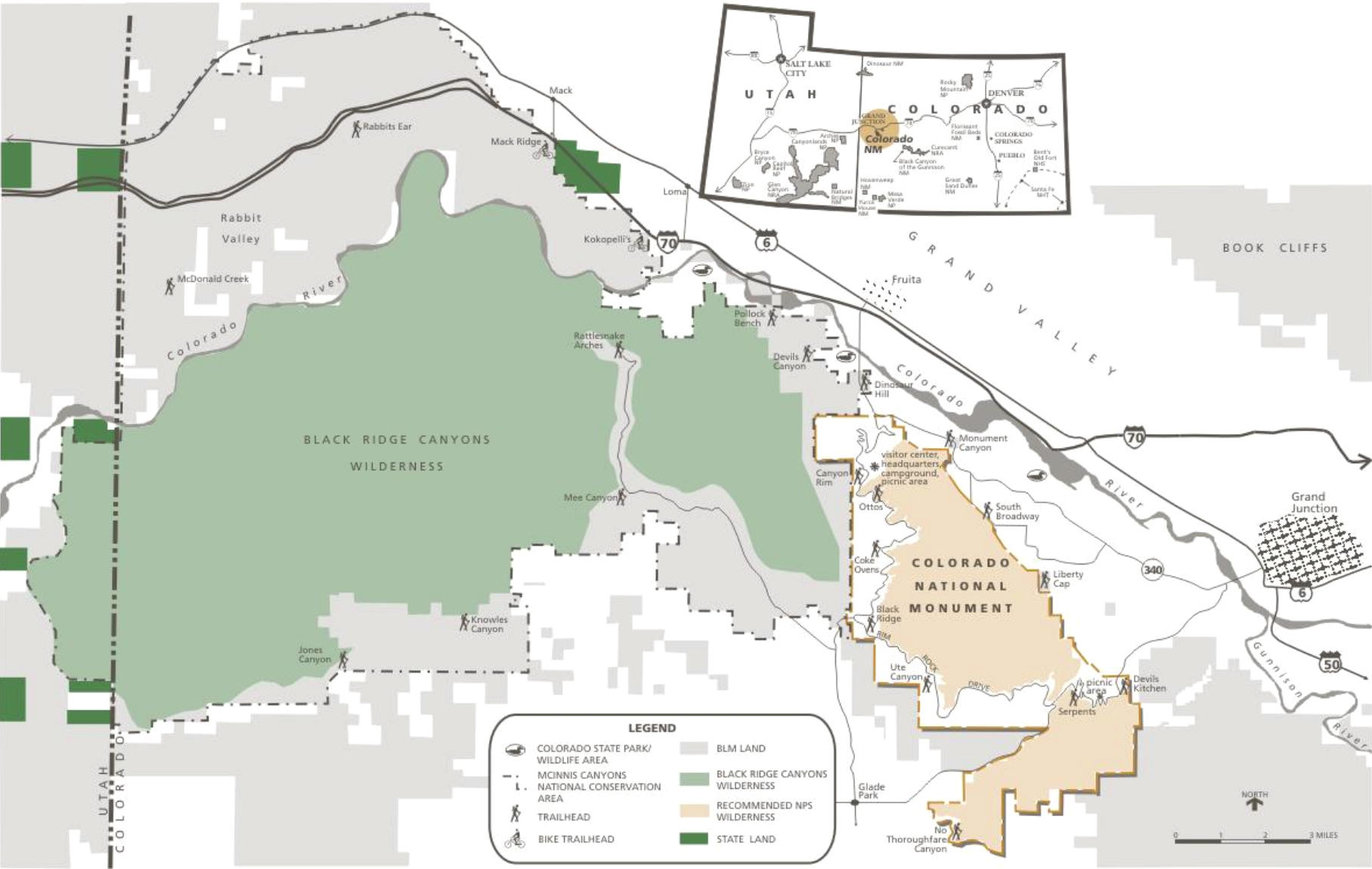 This is a regional map of Colorado NM (150 kb), zooming out a little bit to include the nearby Black Ridge Canyons Wilderness and labeling each of the major trailheads inside and surrounding the monument.
 Here’s a Colorado NM accessibility map (200 kb), labeling the facilities, points of interest, and overlooks that are accessible for visitors in wheelchairs and those with mobility impairments.
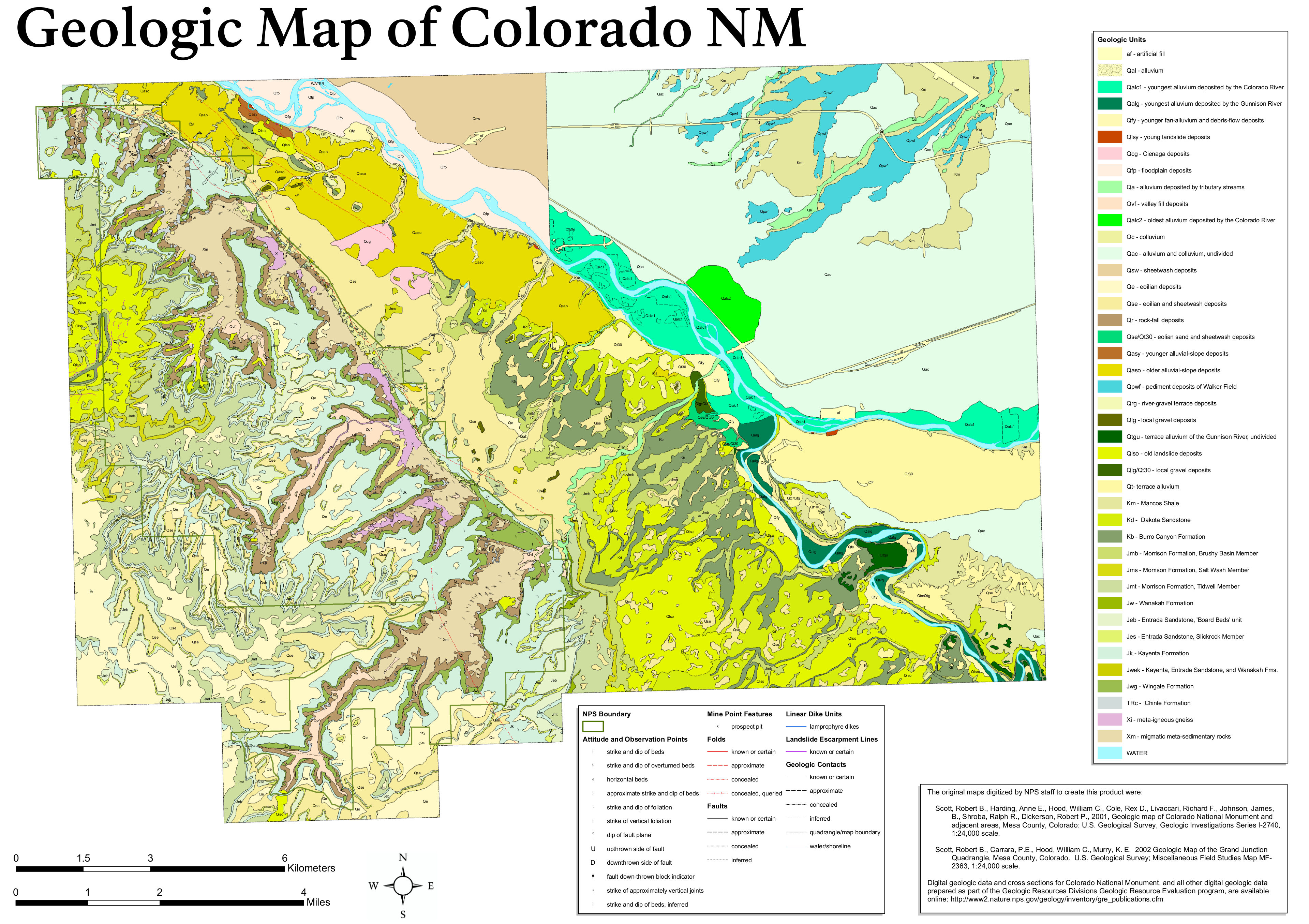 The Colorado National Monument geologic map (1.9 mb) labels the various rock types you’ll find in the park, many of which you’ll see repeated in nearby parks such as Arches and Canyonlands in Utah.
…and more!
< Return to National Park Maps home
< Return to Park List
< Return to List by State
Need more help? Browse Amazon’s best-selling Colorado NM maps and guidebooks.