Kobuk Valley map from the park brochure
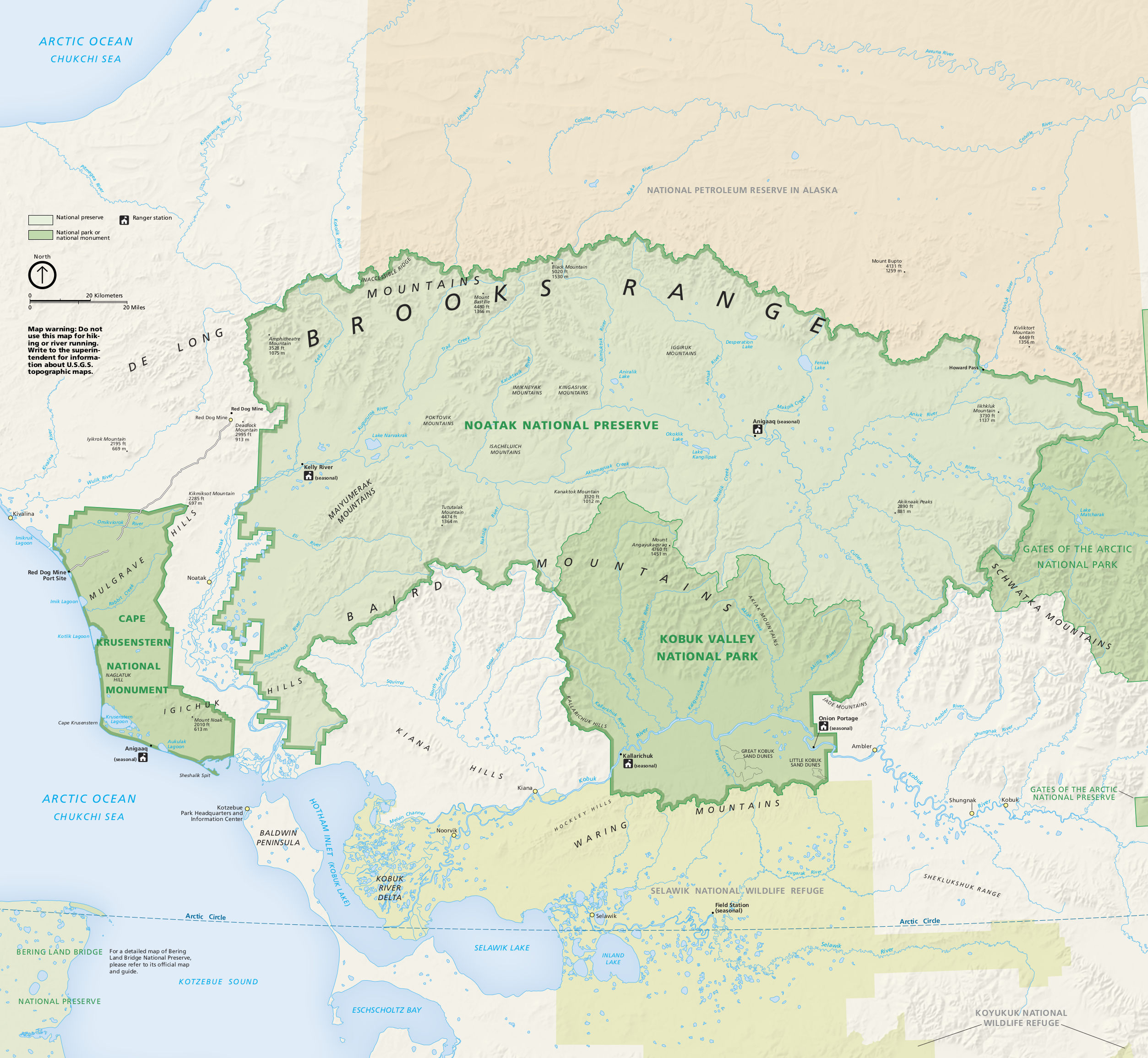 This is the Kobuk Valley map from the official national park brochure, showing the park’s layout and all of Noatak National Preserve. Click the image to view a full size map or download the PDF.
Regional Kobuk Valley maps
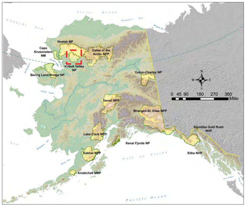 Here’s a regional Alaska map that shows the location of Kobuk Valley National Park in relation to other parks in the area and the entire state of Alaska. You’ll notice that the parks tend to be in the mountains!
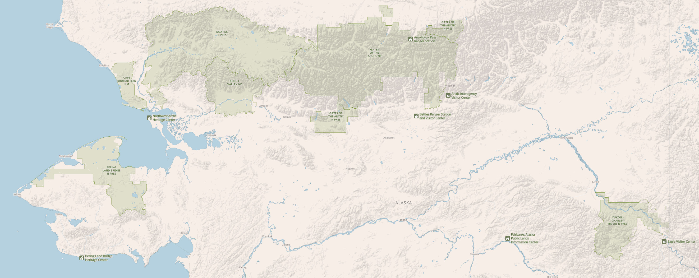 The regional northern Alaska map zooms in to show just the national parks north of Fairbanks: Gates of the Arctic, Bering Land Bridge, Cape Krusenstern, Kobuk Valley (naturally), Noatak, and Yukon-Charley Rivers.
Assorted Kobuk Valley maps
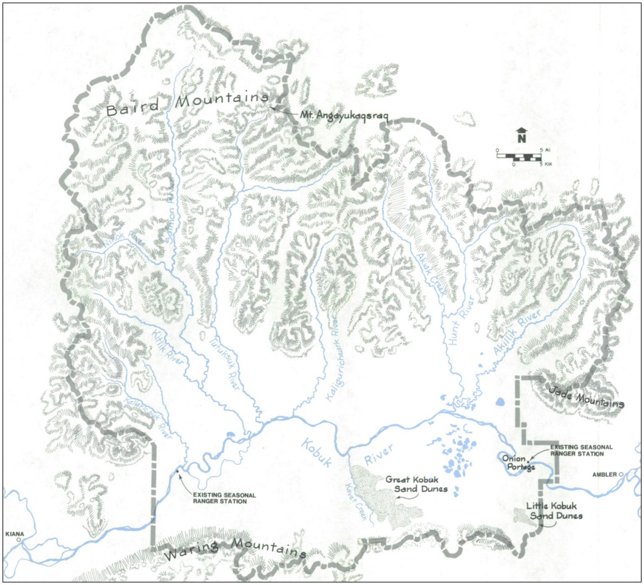 The hand-drawn Kobuk Valley National Park map makes it easy to see the park topography at a glance: mountains to the north, Great Kobuk Sand Dunes to the south, and the Kobuk River flowing east to west in between.
…and more!
< Return to National Park Maps home
< Return to Park List
< Return to List by State