This page currently offers 3 free Women’s Rights National Historical Park maps for you to view or download: NPS brochure maps and more. In addition to the free Women’s Rights maps, I include external affiliate links that help cover my costs and allow me to keep this site ad-free. These links have shaded backgrounds (like this example) so you can easily recognize or skip past them: Browse the best-selling Women’s Rights maps and books on Amazon.
Women’s Rights map from the park brochures
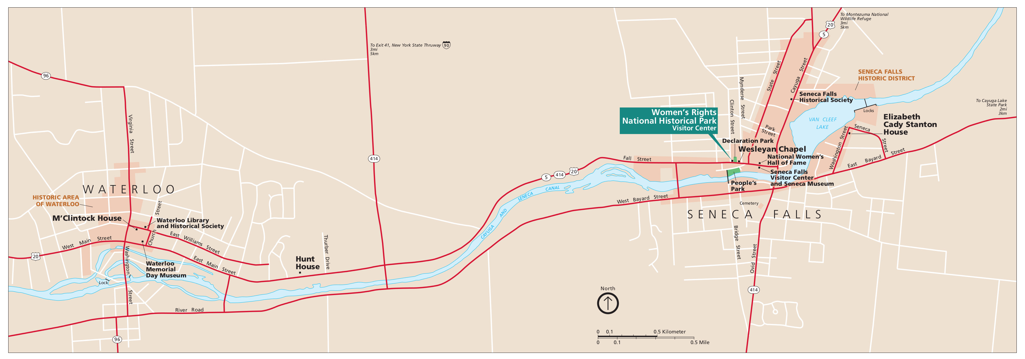 Here is the official Women’s Rights map from the brochure, showing the park land in Seneca Falls and Waterloo. Click the image to view a full size map or download the PDF.
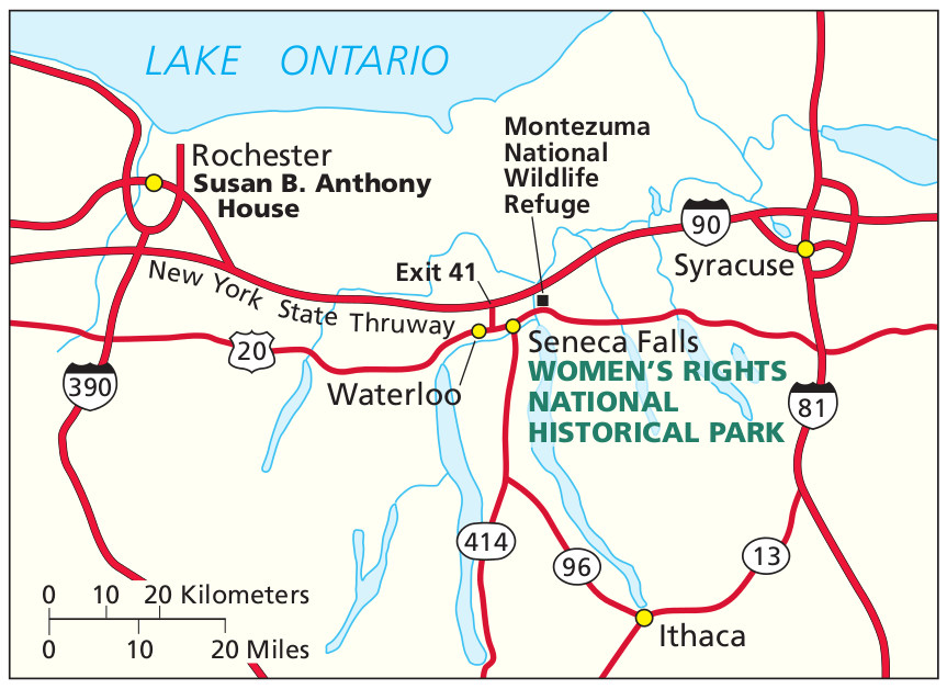 This is a regional Women’s Rights map, showing access to the park from various roads and highways around New York. Click the image to view a full size map or download the PDF.
…and more!
< Return to National Park Maps home
< Return to Park List
< Return to List by State
Need more help? Browse Amazon’s best-selling Upstate New York maps and guidebooks.