This page currently offers 4 free Effigy Mounds National Monument maps for you to view or download: NPS brochure maps, trail maps, and more. In addition to the free Effigy Mounds maps, I include external affiliate links that help cover my costs and allow me to keep this site ad-free. These links have shaded backgrounds (like this example) so you can easily recognize or skip past them: Browse the best-selling Effigy Mounds maps and books on Amazon.
Effigy Mounds map from the park brochure
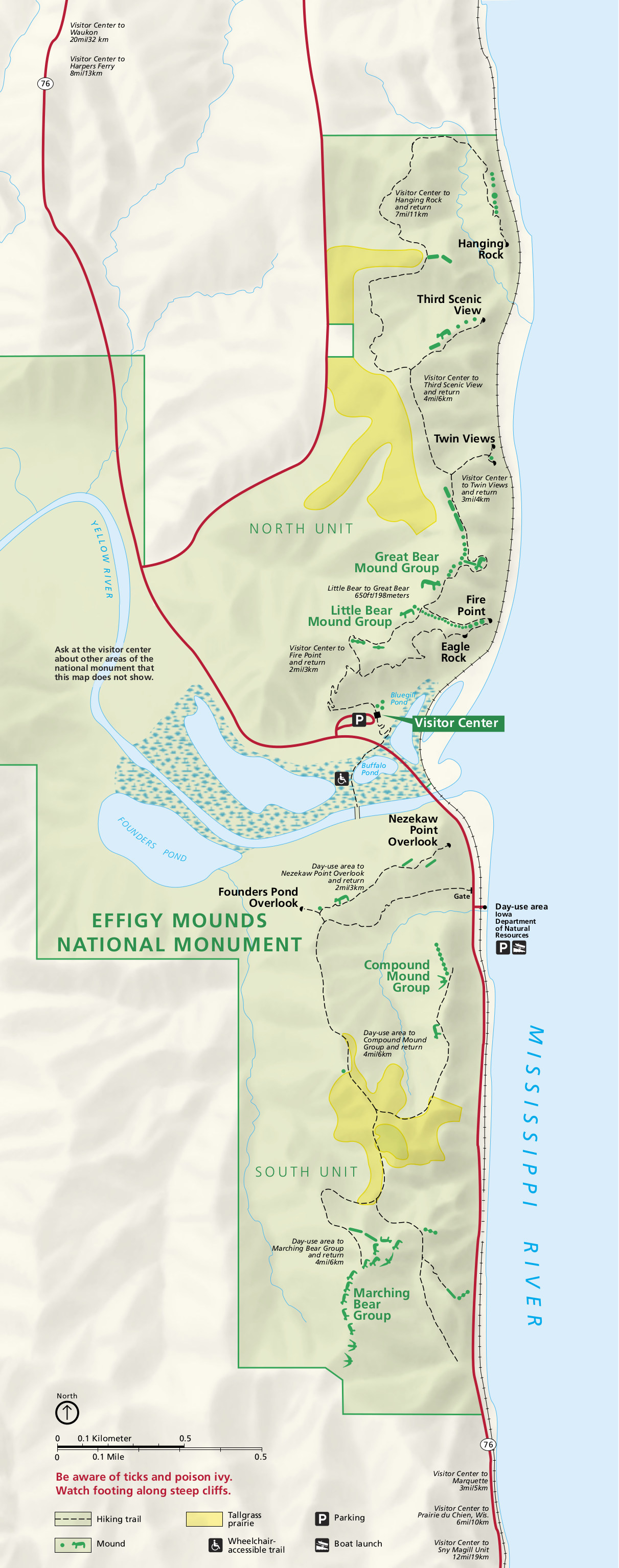 This is the Effigy Mounds map from the official brochure, showing the trails, roads, mounds, and visitor facilities. Click the image to view a full size map or download the PDF.
Regional Effigy Mounds map
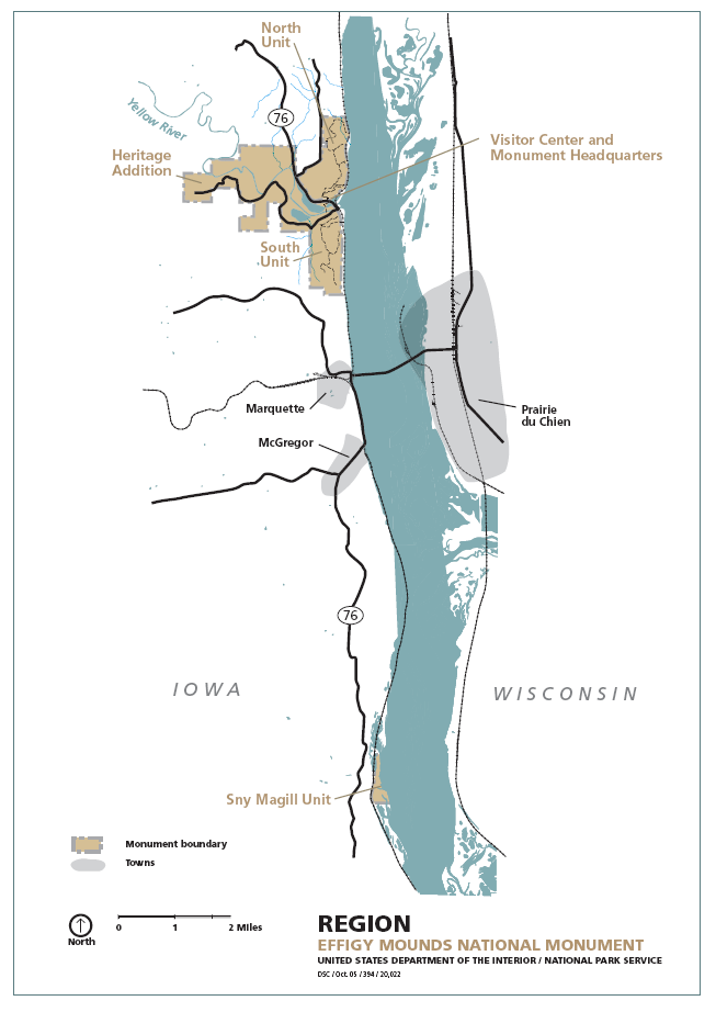 Here’s a regional Effigy Mounds map, showing the nearby towns and roads south of Effigy Mounds on both sides of the Mississippi River, including Iowa and Wisconsin.
Effigy Mounds trail map
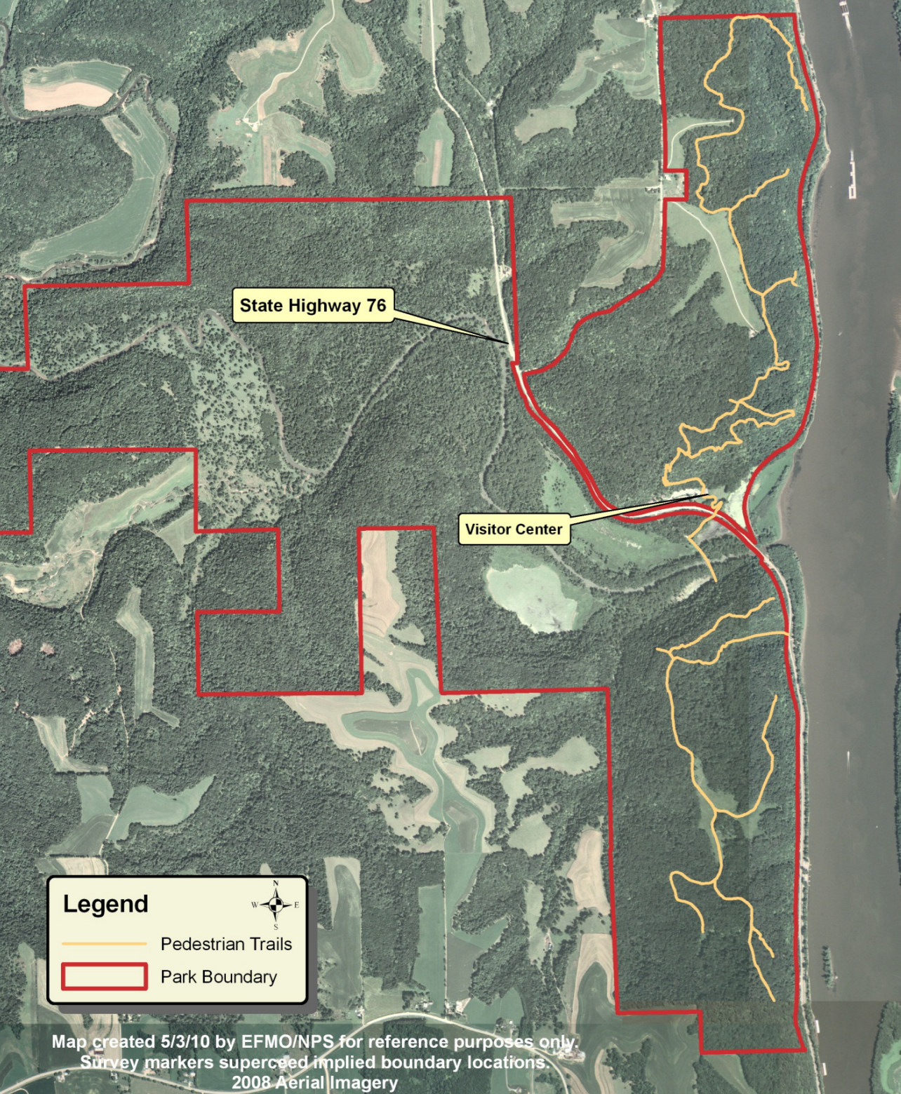 Here’s an Effigy Mounds trail map that shows the hiking trails embedded over a satellite image of the area, starting from the visitor center. Also labeled is Highway 76.
…and more!
< Return to National Park Maps home
< Return to Park List
< Return to List by State
Need more help? Browse Amazon’s best-selling Effigy Mounds books.