If you’re looking for a Cabrillo map, you’ve come to the right place; currently I’ve collected 4 free Cabrillo National Monument maps to view and download. (PDF files and external links will open in a new window.) The two maps here show the surrounding region around Cabrillo as well as the official National Park Service map that comes on the official brochure. You can also browse the best-selling San Diego maps and guidebooks on Amazon.
Cabrillo map from the park brochures
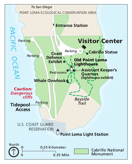 Here is the main Cabrillo map showing the lighthouses, trails, visitor center, and parking areas. Click the image to view a full size JPG (70 kb) or download the PDF (150 kb).
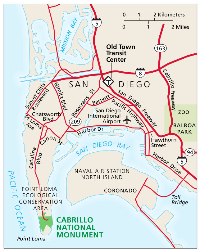 This is a regional Cabrillo National Monument map, which shows the park in relation to San Diego and the rest of Point Loma. Click the image to view a full size JPG (130 kb) or download the PDF (200 kb).
Cabrillo geologic map
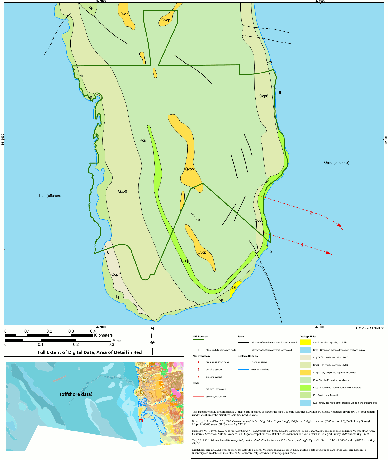 Here’s a geologic map of Cabrillo National Monument (200 kb), including the Cabrillo Formation, Point Loma Formation, and more recent Quaternary deposits on the peninsula.
…and more!
< Return to National Park Maps home
< Return to Park List
< Return to List by State
Need more planning help? Browse Amazon’s best-selling San Diego maps and guidebooks.